Safety Rest Areas: Polk County Southbound
(Renovated facility opened December 2007)
Polk County Northbound is the partner for Polk County Southbound
|
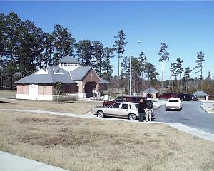 View of Polk County Safety Rest Area |


Location
|
Features
Miscellaneous
- Renovated facility opened December 2007 with expanded building and parking areas.
- Polk County, named after President James K. Polk, was one of twenty-three counties formed by the first state legislature of Texas in 1846
- The Alabama-Coushatta Indian Reservation is east of Livingston on U.S. Highway 190. Three streams in Polk County bear the names of Coushatta chiefs: Long King, Long Tom, and Tempe